
COLUMBUS, Ohio — Severe weather season has arrived in Ohio. Are you prepared?
While spring and summer bring warmer temperatures back to the state, they can also bring in severe storms capable of high winds, hail, flooding and even tornadoes.
Tips to keeping you and your family safe during severe storms include:
- Be prepared: choose your emergency communications, make a plan, and build an emergency kit for your home and vehicle.
- Cut down or trim trees that may be in danger of falling onto your home and clean/clear drains and gutters.
- Consider surge protectors, lightning rods, or a lightning protection system to protect your home, appliances and electronics.
- Know the difference between watches (conditions are favorable) and warnings (imminent or occurring now).
*Info provided by the Ohio Committee for Severe Weather Awareness
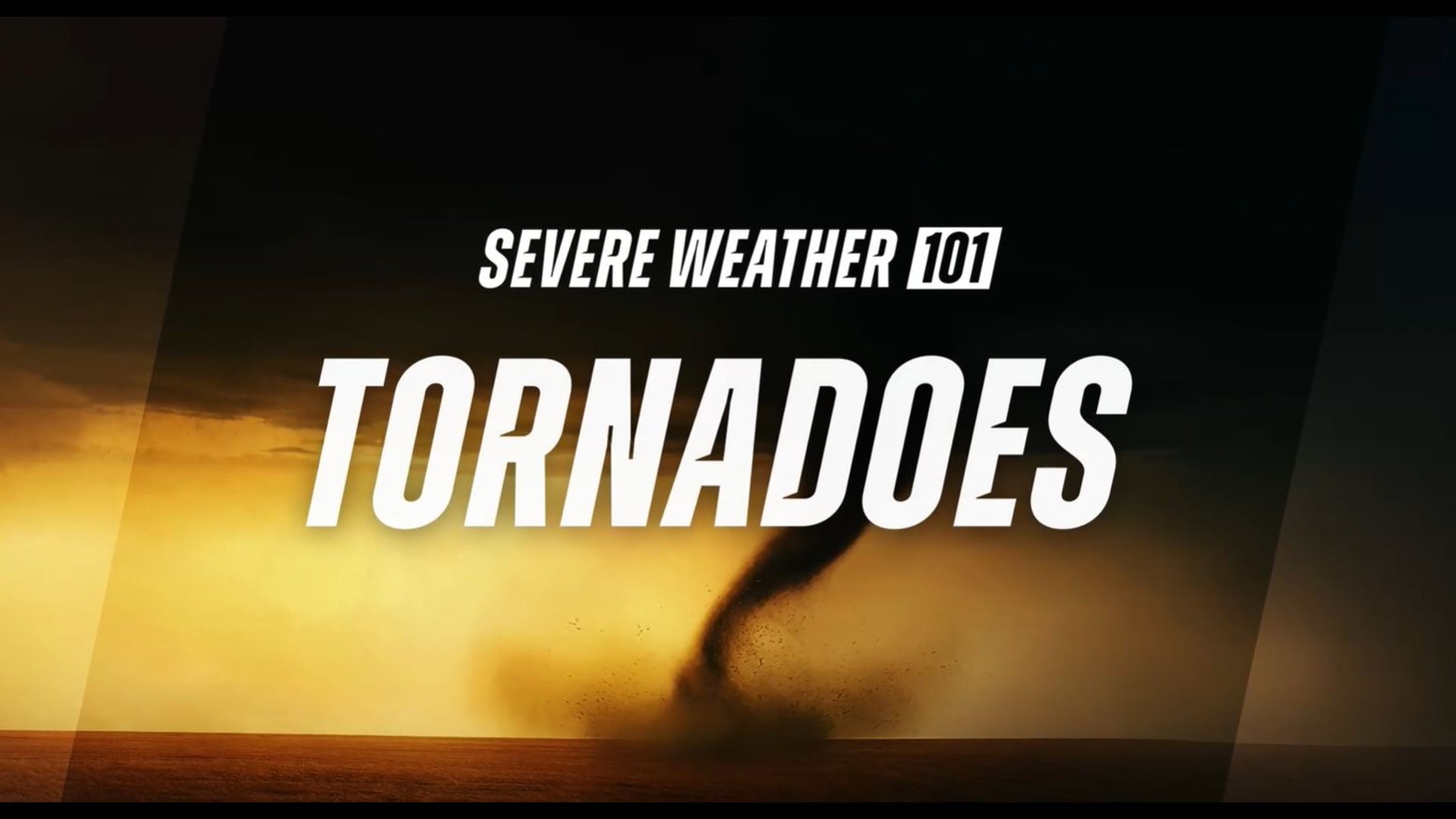
Difference between a Tornado Watch and a Tornado Warning
The National Weather Service (NWS) is responsible for issuing severe weather watches, warnings and advisories to alert the public when dangerous weather conditions are expected.
Watches - A Tornado Watch means there is the potential or conditions exist for a tornado.
Warnings - A Tornado Warning means that a tornado is imminent, has been sighted or indicated by radar. Immediate action must be taken to protect life and property.
Advisories - A weather advisory means weather conditions that are less serious than a warning are imminent. These events may cause a significant inconvenience, and if caution is not exercised, it could lead to a situation that may be threatening to life and property.
Tornadoes aren’t the only reason to stay alert
Strong Winds
Strong winds of 55 mph or more can cause significant damage even though no tornado is present. "Downbursts" are columns of air that slam to the earth and spread high winds in many directions. Downbursts can be just as damaging as tornadoes; if such conditions are present, take the same precautions as you would for a tornado.
Lightning
Lightning claims more lives every year than tornadoes. When lightning is a threat, stay indoors and don't use electrical appliances. If you're caught outside, keep a safe distance from tall objects, and try to stay lower than anything nearby. A safe distance from a tree is twice its height.
Taking cover during severe storms
Storms producing tornadoes in Ohio often approach from the southwest. They can travel at speeds up to 70 miles per hour and contain winds estimated at over 200 miles per hour.
Sometimes an approaching tornado will sound like the roar of a train or airplane. If you see or hear a tornado, take cover immediately. Seek shelter inside, preferably below ground level. Do not waste time opening windows; tornado-force winds will "open" the windows well before the pressure difference can cause any structural damage. Above all, protect your head and lie flat.
At Home
Get away from windows, doors and outside walls. Go to the basement. If you have no basement, go to a first floor bathroom, closet or room at the center of the house. If possible, get under heavy furniture and cover your head with blankets or pillows.
At School
Go to the lowest floor or basement. Go to small interior rooms or hallways. Stay away from windows and avoid auditoriums, gyms and other areas with wide, free-span roofs.
In Public Buildings
Go immediately to the designated shelter area or to an interior hallway or small room on the lowest level. Stay away from windows. Do not use elevators. Do not go to your car.
During tornado drills or actual tornado warnings, remember to DUCK
D – Go DOWN to the lowest level, stay away from windows
U – Get UNDER something (such as a basement staircase or heavy table or desk)
C – COVER your head
K – KEEP in shelter until the storm has passed
General Weather Terms
*Provided by the Ohio Committee for Severe Weather Awareness
Cold Air Funnels - A funnel cloud or (rarely) a small, relatively weak tornado that can develop from a small shower or thunderstorm when the air aloft is unusually cold (hence the name). They are much less violent than other types of tornados.
Derecho - A widespread, fast-moving windstorm associated with convection. Derechos are typically produced by a thunderstorm complex, where the thunderstorms become organized on a scale larger than the individual storms and form a convective system. Derechos can produce damaging straight-line winds over areas hundreds of miles long and more than 100 miles across.
Downburst - A strong downdraft current of air from a thunderstorm, often associated with intense thunderstorms. Downbursts may produce damaging winds at the surface.
Flash Flood - A rapid and extreme flow of high water into a normally dry area, or a rapid rise in a stream or creek above a predetermined flood level, beginning in a short period of time from the causative event. Flash floods typically occur as the result of very heavy rainfall in a short period of time over a relatively small area. It may also be caused by a dam break..
Flood - A condition that occurs when water overflows the natural or artificial confines of a stream or body of water, or accumulates by drainage over low lying areas. This flood is any high flow of water, overflow, or inundation by water which causes or threatens damage.
Funnel Cloud - A condensation funnel extending from the base of a towering cumulus cloud associated with a rotating column of air that is not in contact with the ground – and hence, different from a tornado. A condensation funnel is a tornado, not a funnel cloud if it is in contact with the ground and a debris cloud or dust whirl is visible beneath it.
Gust Front - The leading edge of gusty surface winds caused by thunderstorms. Sometimes these winds occur with a roll cloud or shelf cloud and can be quite distant from the originating thunderstorm.
Lightning - A visible electrical discharge produced by a thunderstorm. The discharge may occur within or between clouds, between the cloud and air, or between a cloud and the ground.
Severe Thunderstorm - A thunderstorm producing a tornado and/or, damaging winds of 58 mph or higher, and/or hail 1 inch in diameter or larger. Structural wind damage may imply the occurrence of a severe thunderstorm.
Squall Line - A line of active thunderstorms, either continuous or with breaks, including contiguous precipitation areas resulting from the existence of thunderstorms.
Straight-Line Winds - Generally, any wind that is not associated with rotation, used mainly to differentiate them from tornadic winds. See downburst.
Thunderstorm - A local storm produced by a cumulonimbus cloud, and accompanied by thunder and lightning, strong wind gusts, heavy rain and sometimes hail. A cumulonimbus cloud is a cauliflower-shaped cloud that usually has a height taller than or equal to its width.
Tornado - A violently rotating column of air that comes in contact with the ground, usually, descending from the base of a thunderstorm. In Ohio, many tornadoes are obscured by hills, trees or heavy rain.