
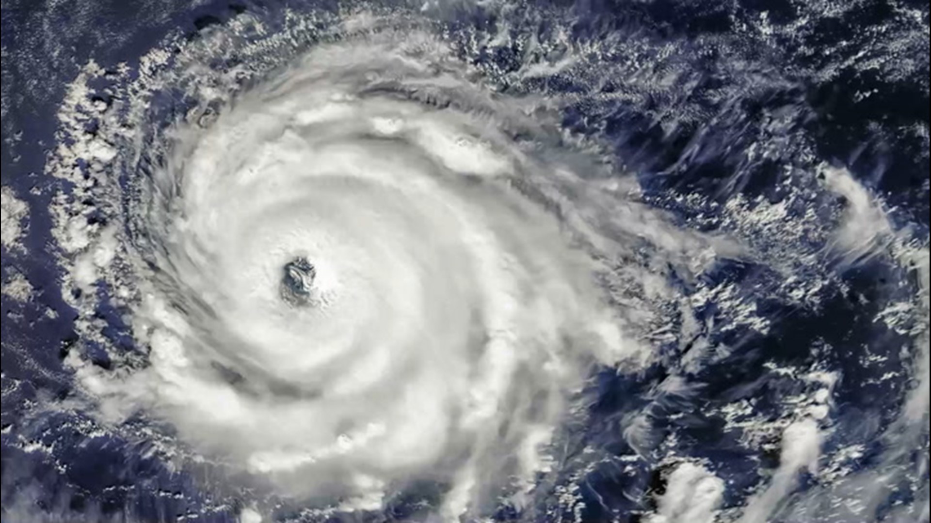
After Epsilon weakened from a major hurricane over the Atlantic, the risk of new tropical development remains low over the next couple of weeks across much of the ocean. However, there are a couple of areas over the southwestern part of the basin that meteorologists will be keeping a closer eye on through the end of October.
The southwestern part of the Atlantic tends to be a tropical hot spot for activity during the latter part of the hurricane season as waters remain warm in this zone. Non-tropical systems that enter the region can help spin up tropical disturbances over the favorable environment for development.

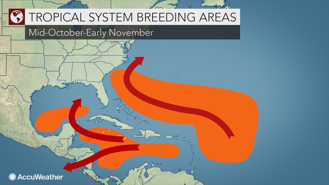
The AccuWeather tropical forecast team is highlighting an area for about a 30% chance of development early next week from near the northern coast of Cuba and the Florida Straits to just northeast of the Bahamas.
"An area of disturbed weather with showers and thunderstorms is forecast to drift northeastward from the northwestern Caribbean Sea, across Cuba, southern Florida and the Bahamas through this weekend," according to AccuWeather Senior Meteorologist Rob Miller.
Strong winds aloft are expected to suppress any tropical system from developing quickly and strengthening, but a weak low pressure area may still try to develop near the Florida Straits this weekend, according to Miller.

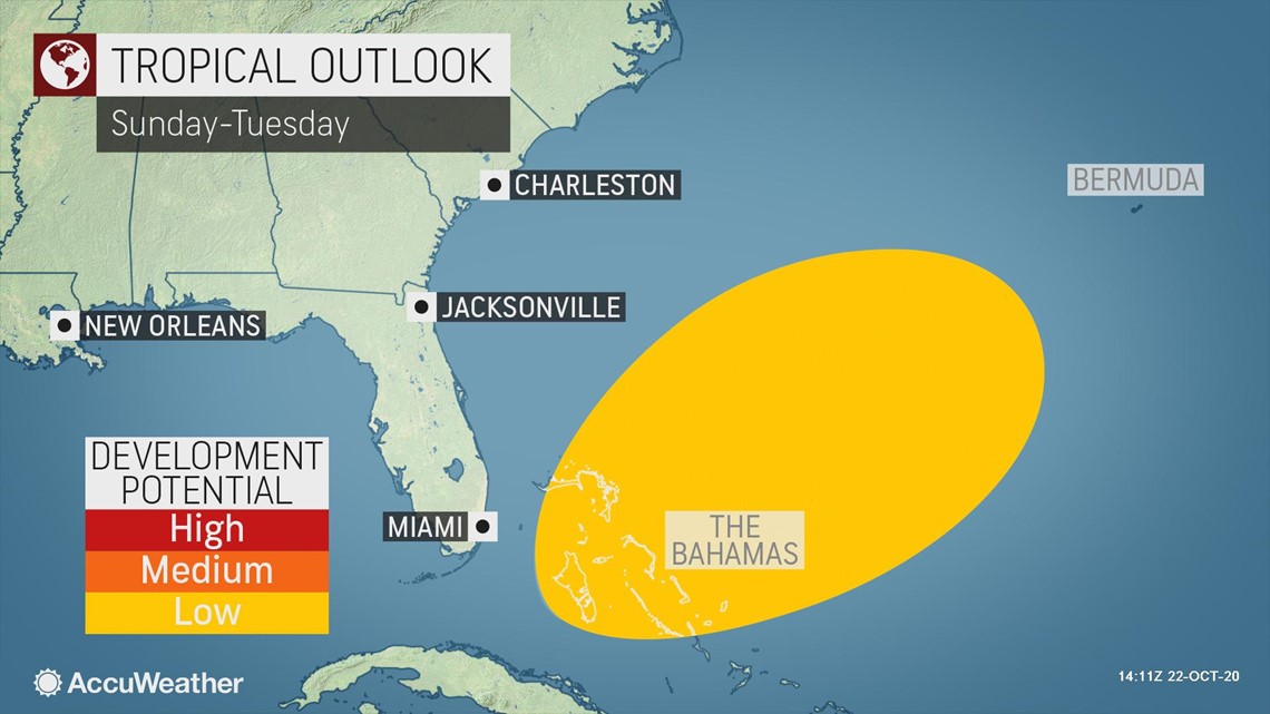
"As this feature continues to move slowly along early next week, over the Bahamas, wind shear may ease enough to allow some tropical development to take place," Miller explained. Wind shear is the increase of winds with altitude, and it can inhibit tropical development from taking place or cause tropical storms or hurricanes to weaken.
Steering breezes could change or become weak later next week, so future movement at that time is uncertain, although meteorologists said the pathway for this feature to move northward along the East Coast of the United States is likely to be blocked by another zone of strong wind shear. The feature could potentially linger near or just north and east of the Bahamas for several days next week. Waters are sufficiently warm in this region to sustain a tropical system should wind shear remain low enough.
"Locally heavy downpours will occur over parts of Cuba, South Florida and the Bahamas through this weekend," Miller said, adding that stormy conditions are expected in these areas whether a tropical system develops or not.
Showers and thunderstorms have been erupting over the eastern part of the Florida Peninsula over the last couple of weeks as a result of an easterly flow of moist air, rather than from a tropical moisture source. As the extra moisture moves northward from the Caribbean this weekend, downpours may become more intense, especially over the southeastern part of the Florida Peninsula, including the Miami and Fort Lauderdale areas.


AccuWeather meteorologists said that a second area of concern will warrant a close watch into at least early November.
The culprit behind the risk area: the Central American gyre. The stormy pattern has weakened in recent days, but there are still some traces of it. The overall unsettled conditions with clusters of showers and thunderstorms are expected to continue from the western Caribbean and Central America to southeastern Mexico and part of the southwestern Gulf of Mexico.
"There is a chance that a more consolidated zone of low pressure develops in the western Caribbean to the southwest Gulf during next week," Miller said.
Meanwhile, tropical disturbances, known as tropical waves, will continue to move westward off the coast of Africa in the coming weeks. However, it is unlikely that these systems will strengthen into organized tropical systems as they make a westward trek across the central Atlantic. Instead, these features could become better organized as they reach the Caribbean or southwestern part of the Atlantic, especially if they encounter other features such as fronts, gyres or non-tropical systems.
With the storm names in the Atlantic gathering Greek letters for only the second time on record, the next name on the list of tropical storms for the 2020 season is Zeta.


Only in the 2005 Atlantic hurricane season did Greek letters have to be utilized. Zeta was the last name used in 2005. Should two more tropical storms form beyond Epsilon, which is currently spinning east of Bermuda, it would be the first time ever for the Greek letter Eta to be used. Even though there were 28 tropical storms in 2005, there was an unnamed subtropical storm that was not classified by the National Hurricane Center until post-season analysis.
Including Epsilon, there have been 26 tropical storms so far in 2020, many of which have set early formation records for their designated number. These include Cristobal and every storm from Edouard through Epsilon.